Hurricane Sandy (later classified as Superstorm Sandy) paid a visit to the Trolley Museum
on the night of Monday, October 29 and early morning of Tuesday, October 30, 2012.
The good news is that no trees fell on the building, there were no problems with the roof,
and there were no issues in the Visitors Gallery and office areas upstairs.
However, we are going to need a lot of cleanup, and a lot of help from volunteers.
Here are some photos taken on Tuesday, October 30th, 2012, the day after the storm.
Our immediate neighborhood
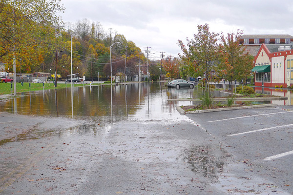
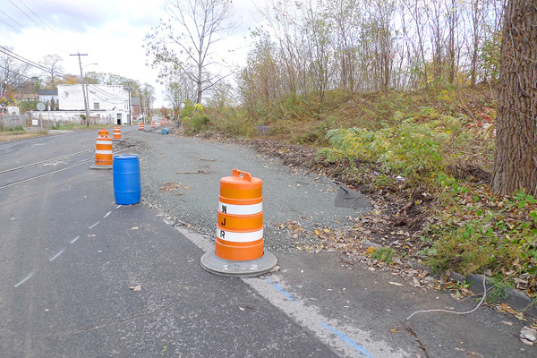
Here is a view down The Strand, looking toward the Trolley Museum at about 2:30 pm on Tuesday, after the storm swept through the area.
This is just an aftermath; the flooding was much more than this.
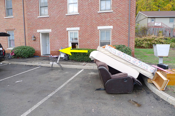
Debris in front of the neighboring apartments.
High-water mark on the front of the apartment next to our parking lot.
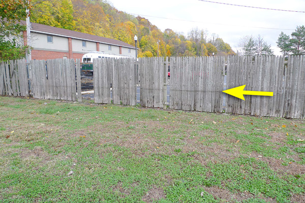
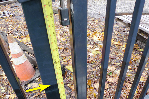
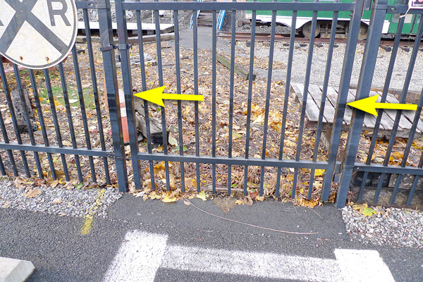
Neighbors told me that city workers broke out a few panels from the fence so that they could get through, into the parking lot. The water level is shown.
The water level at the fence was just under 30".
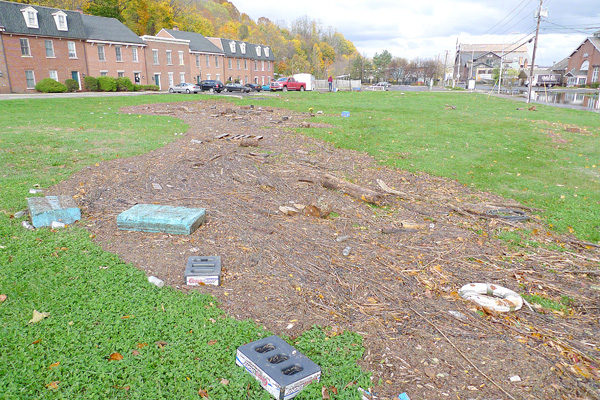
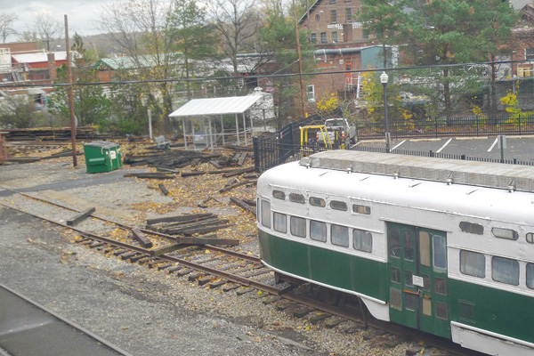
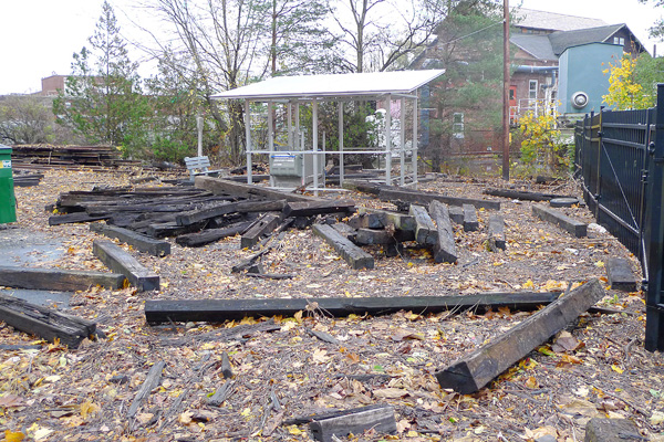
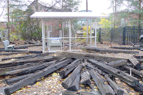
At the Trolley Museum site
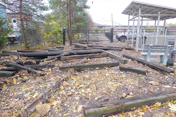
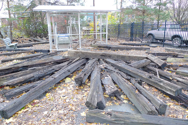
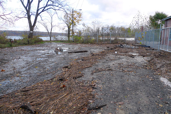
This used to be the front lawn of the Trolley Museum. I guess it's going to need some cleanup.
The carstop.
Three days prior to this storm, IBM volunteers built a new planter for us by the front fence.
Unfortunately, it didn't survive.
Another view of the front lawn.
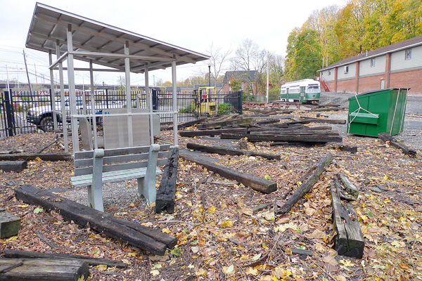
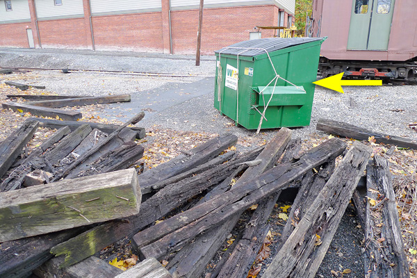
The dumpster floated, but the ropes held it closed, so at least we don't have to clean up all of its contents. The arrow shows the hi-water mark from overnight.
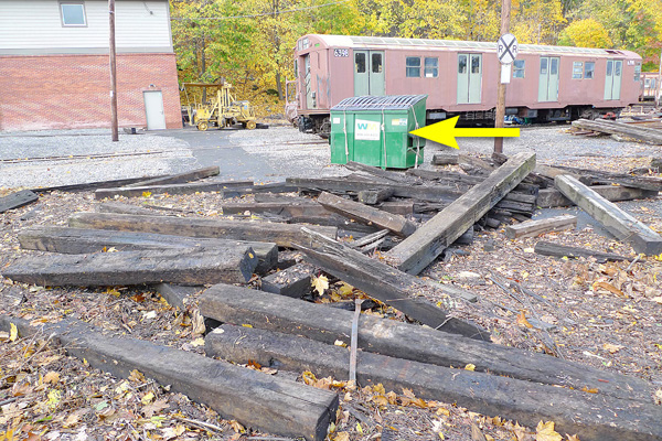
The view coming in from the truck gates. Notice the water level on the dumpster.
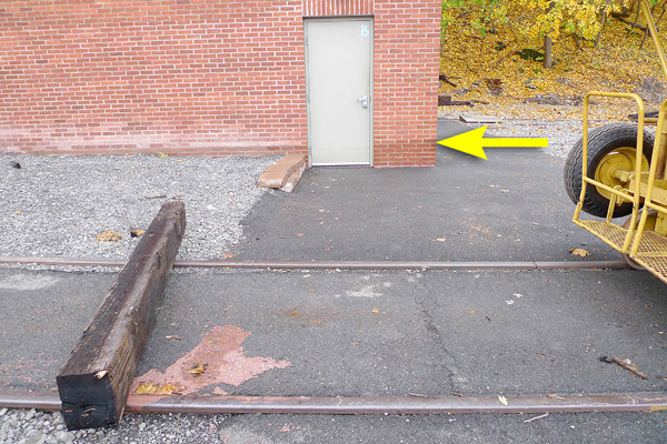
High-water mark on the building.
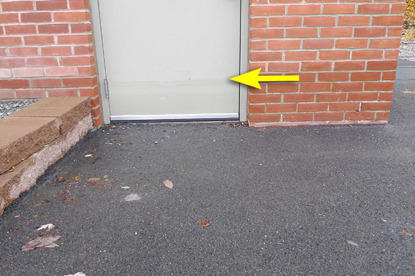
High-water mark on the door.
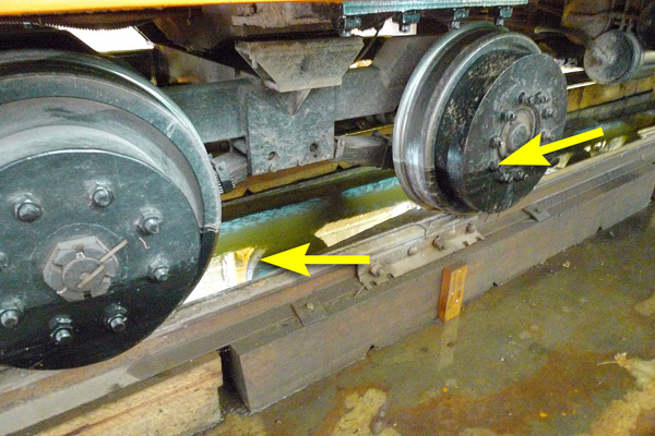
Inside the Restoration Shop
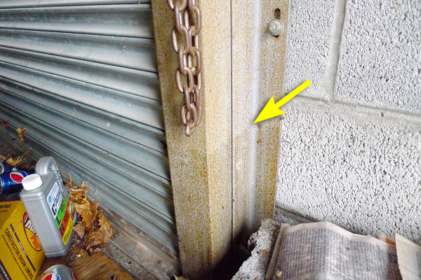
Inside the Restoration Shop, the water level was at 12½" at the roll-up door.
The pits are of course full of water, but we never lost power and the sump pump is running,
so it will take some time, but the pits will get drained.
Notice also the high-water marks on the wheels.
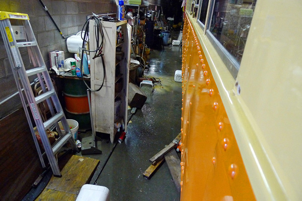
The aisles are a mess; lots of pieces floated.
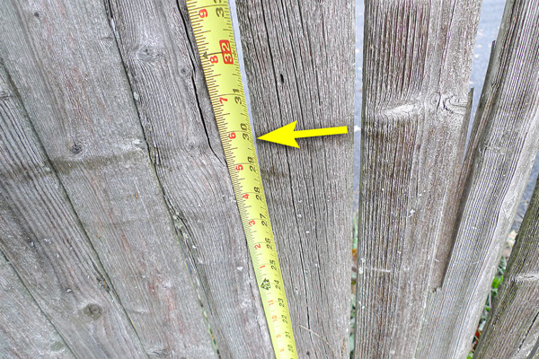
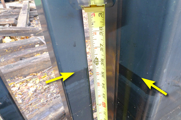
Checking water levels
Water level at the front walk-in gate was at 32".
Water level at the truck gate was just under 36".
Front walk-in gate; water level, at 32".
...Notice that the fence did a great job of containing the debris.
If it hadn't done that,
we would have a cleanup job over a larger area.
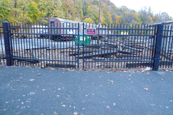
Truck gates containing the debris.
The parking lot was essentially clear of debris.
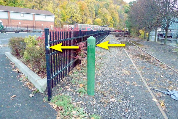
Watermarks near the front street (essentially at the hook at the top of the green post).
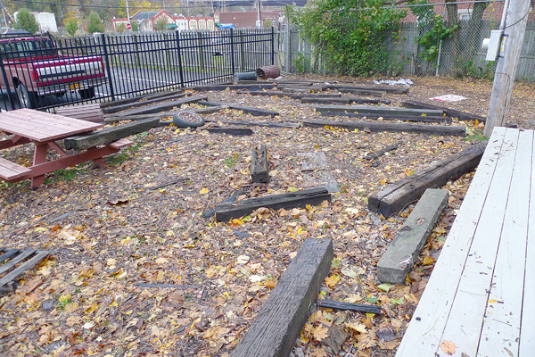
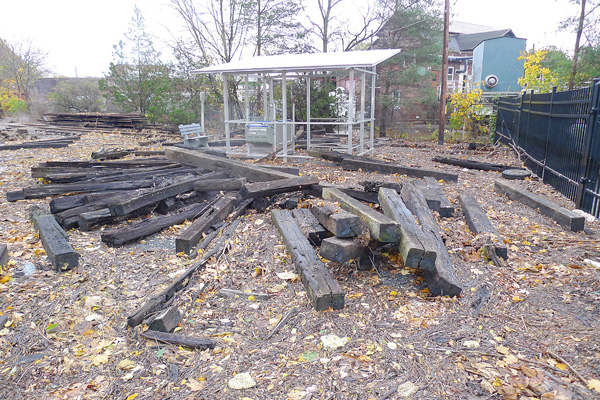
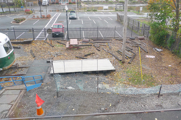
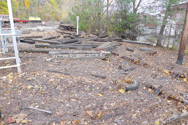
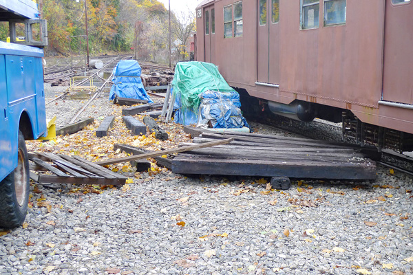
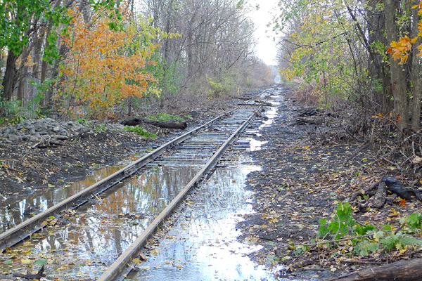
Within the yard
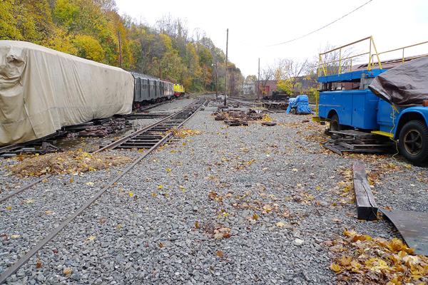
There was only minor debris elsewhere within the yard.
A few ties floated around in this area.
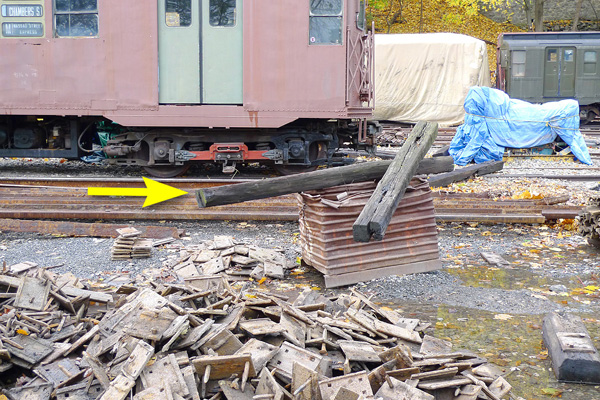
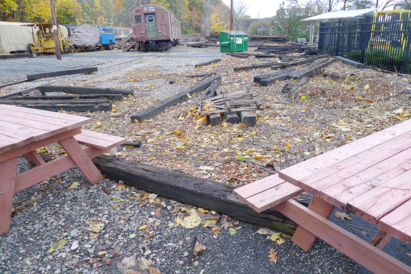
This shows how high the water was in the yard: Notice that these ties were deposited on top of the metal case.
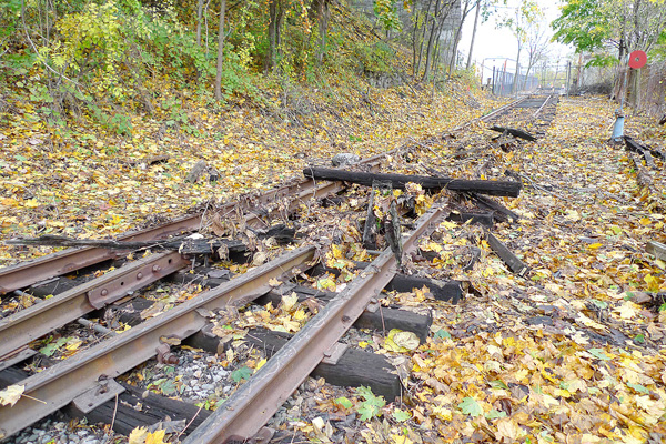
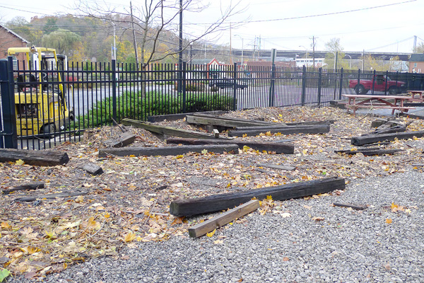
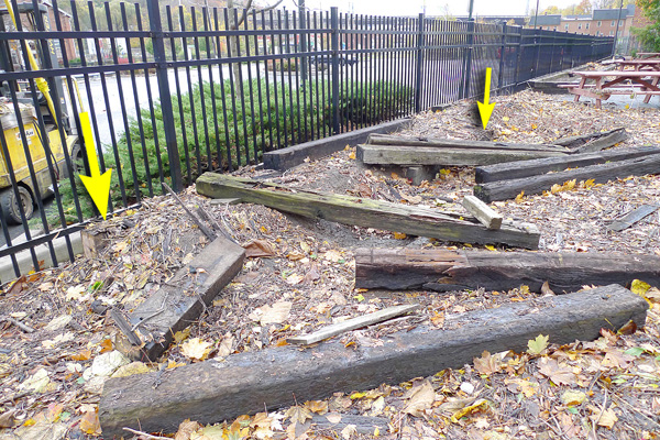
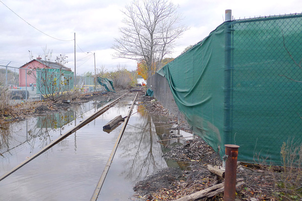
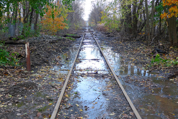
There was some debris on the tracks in the yard...
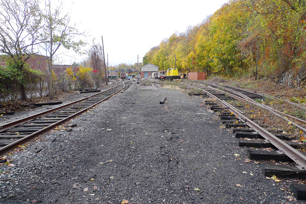
...but overall, the yard was pretty clear. Floating debris was mostly just inside the front gates
(lots of it), with some additional debris on the trackage outside the building.
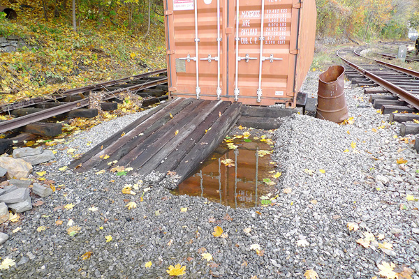
A couple of ties washed away from the entrance to the storage container;
they are down toward the carbarn.
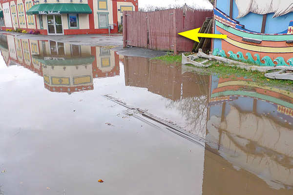
Along The Strand
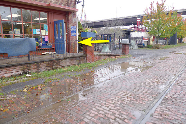
Here is the watermark showing the overnight high-water level at the entrance to the Maritime Museum.
Watermark on the fence next to Rosita's Restaurant.
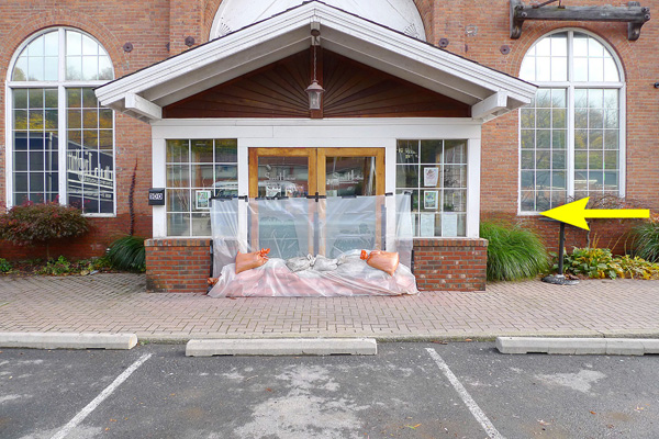
Across the street, The Steel House Restaurant braced themselves for the deluge.
The high-water mark is at the bottom of their windows.
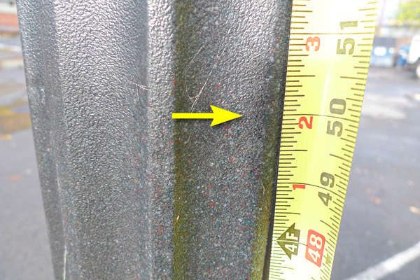
It's very hard to see here, but it was more visible at the scene:
The high-water mark on the lamppost in front of The Steel House is at about 50".
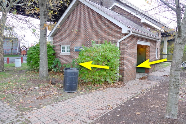
At Gallo Park, the water level is indicated on the restroom building.
This is where we stop for passengers at the foot of Broadway.
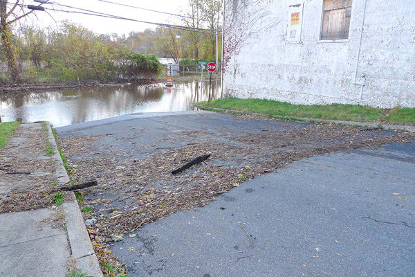
On The Strand, at the foot of Tompkins Street, the water level had been just under five feet.
This is right across the street from the Sheriff's crossing on our mainline.
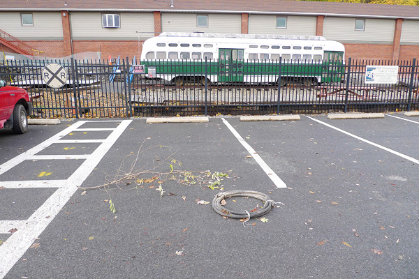
The run-around area was virtually untouched.
North Street
The end of North Street was covered with debris, including a few of the new ties.
North Street, looking west, past Millens Recycling.
A number of their green sheets blew off and landed on the Central Hudson fence,
on the other side of our tracks.
North Street, looking east.
North Street, looking east.
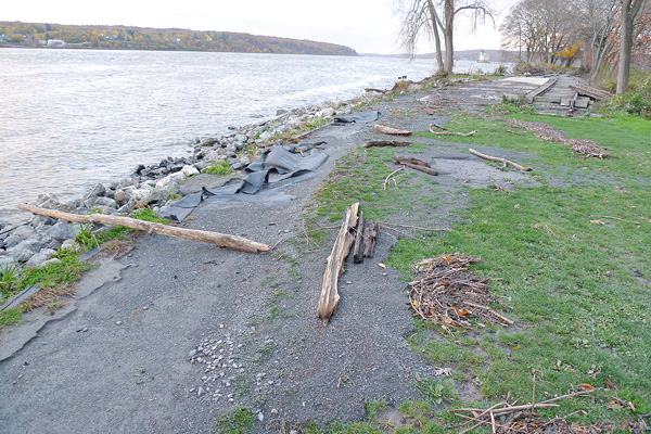
Kingston Point Park
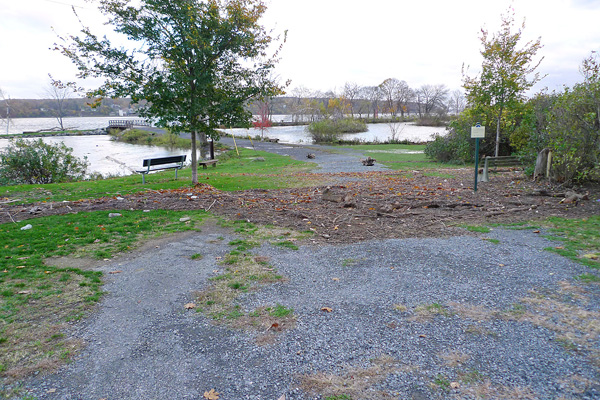
Kingston Point Park.

Kingston Point Park. The flood extended all the up through the grassy area.
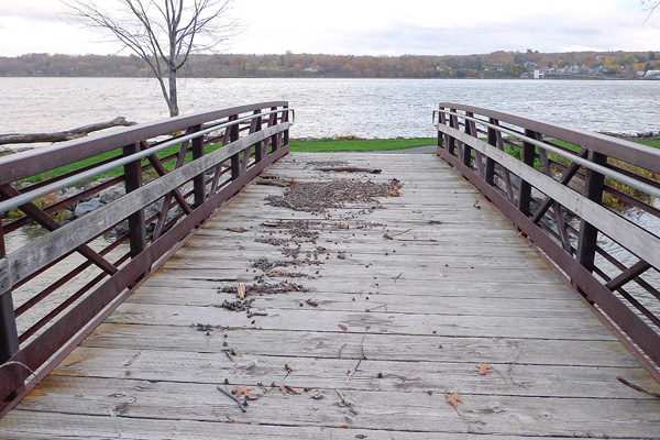
The footbridge had been submerged...
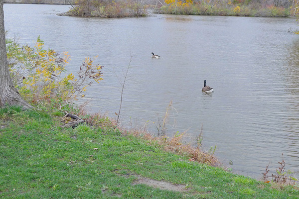
...but it was a lovely day for ducks.
The Kingston Point end of our line on the causeway
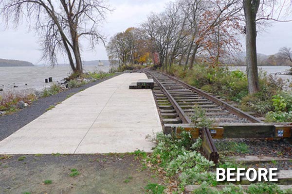
Before: Our platform at the end of the causeway on Monday.
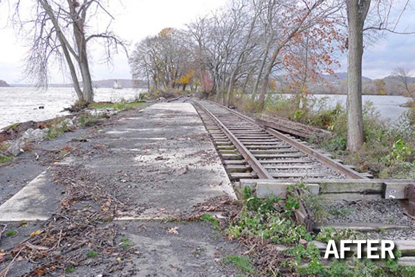
After: Our platform at the end of the causeway on Tuesday.
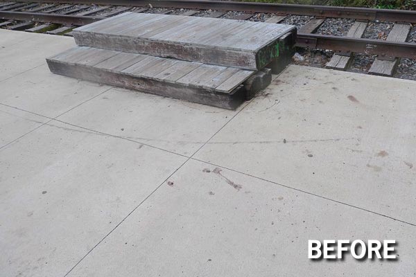
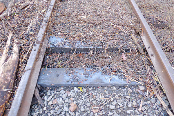
Before: Boarding spot on Monday.
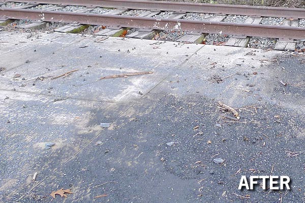
After: Boarding spot on Tuesday... where are the steps?
The steps for boarding our car will need some work...
...but the good news is, the steel restraining cable that was hastily installed the previous night worked!
The steps are still there, and it appears that they would likely have been long gone without the tether.
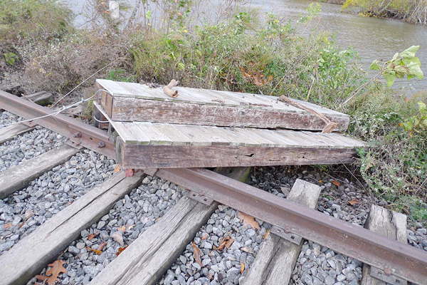
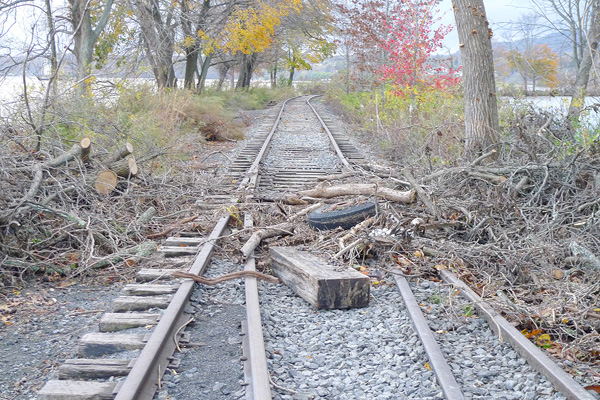
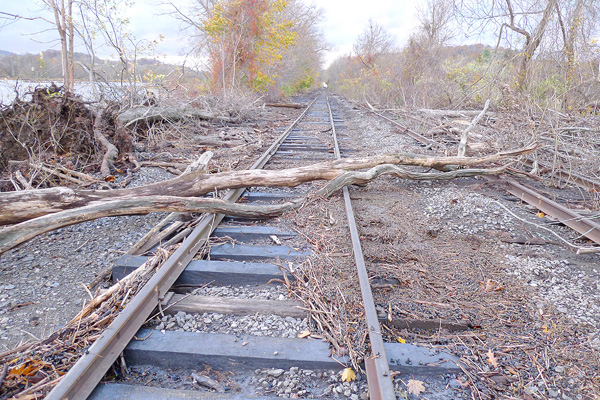
Before: Following the last windstorm, Lennox, Anderson, and McGrew cut up a tree that had fallen across the tracks, but the pieces were still there beside the track...
After: ...They have now floated back onto the tracks.
Same spot, looking in the other direction.
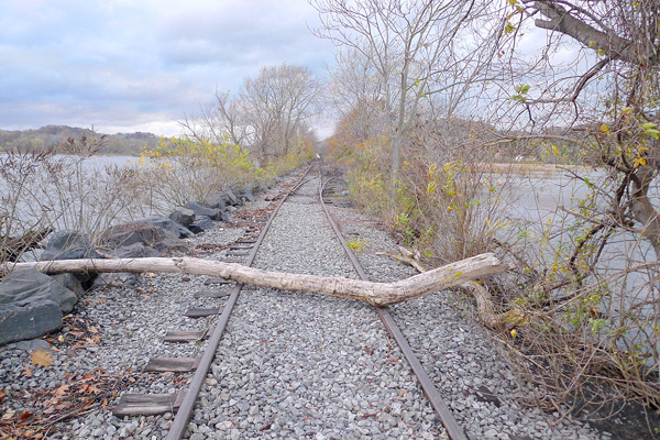
Around the curve on the causeway, looking toward North street.
Problems along here are very minor. There are some large branches and tree trunks that floated in, but no new trees down.
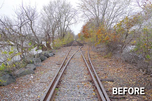
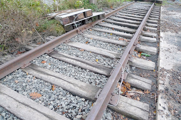
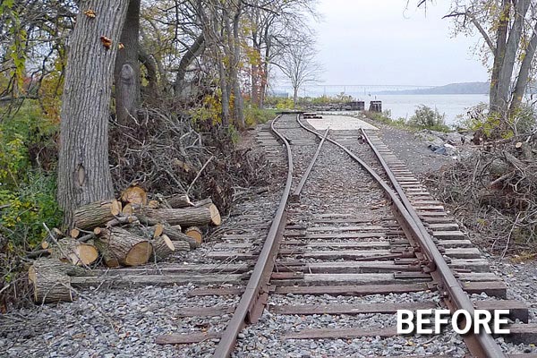
Before: East end of the passing siding, looking toward North Street.
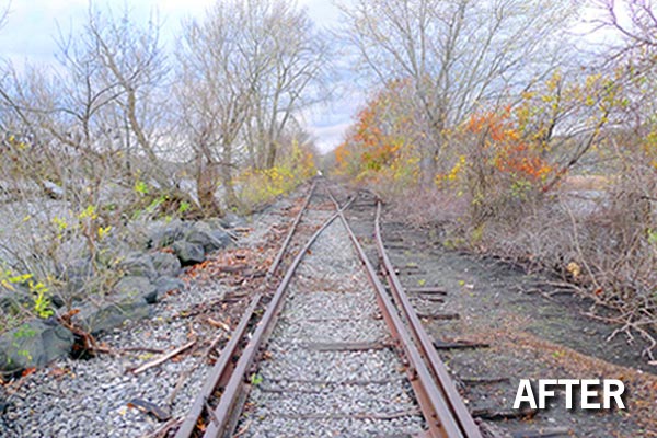
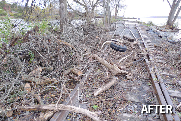
After: East end of the passing siding, looking toward North Street.
Some of the newly-installed ties are now getting hard to spot.
Some minor debris along the way.
The crushed-stone walkway along the edge of the causeway will need some work.
It now has a lot of potholes.